We offer a wide range of aerial drone services.
Professionally capture data, imagery, and insights from above to empower smarter decisions across industries. Seamlessly integrate precision aerial mapping, inspections, and creative visuals into your operations. Strategically transform ordinary perspectives into measurable value through state-of-the-art drone technology. Reliably deliver goal-driven aerial solutions for every environment — from construction sites to cinematic productions.
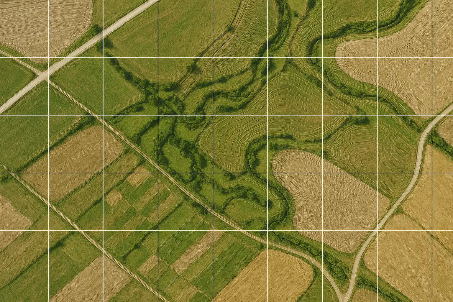
PRECISION DATA CAPTURE
AERIAL MAPPING & SURVEYING
We deliver precision aerial data and mapping solutions, capturing and processing geospatial information for land development and environmental studies. Our 2D and 3D mapping services generate high-resolution orthomosaics and terrain models for accurate site planning, while our topographic surveys transform raw aerial data into actionable insights for architects, engineers, and surveyors.
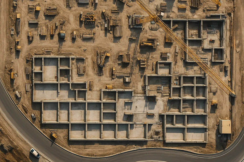
PROJECT VISUALIZATION
CONSTRUCTION & INFRASTRUCTURE
We support builders with real-time progress tracking, documentation, and visual reporting. Through advanced aerial intelligence, we provide progress monitoring, as-built records, and structural inspections of rooftops, towers, and bridges—helping identify issues early and ensuring smooth project execution from start to finish.

VISUAL STORYTELLING
REAL ESTATE & MARKETING
We enhance property listings with stunning aerial perspectives that highlight every detail. Our high-quality photography, cinematic videos, and 360° virtual tours create captivating visual experiences that drive engagement, increase visibility, and help properties stand out in competitive markets.
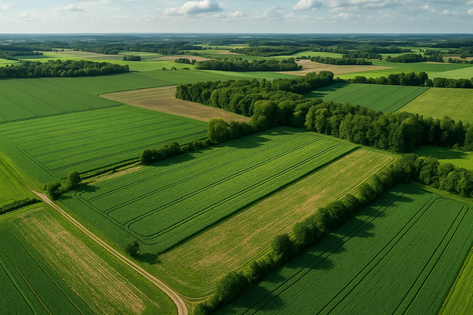
SUSTAINABLE INSIGHT
AGRICULTURE & ENVIRONMENTAL
We help farmers, environmental agencies, and land managers optimize productivity through detailed aerial analysis. Our crop health imaging, irrigation assessments, and forestry monitoring provide measurable insights into soil conditions, vegetation density, and sustainability efforts.
SAFETY & RELIABILITY
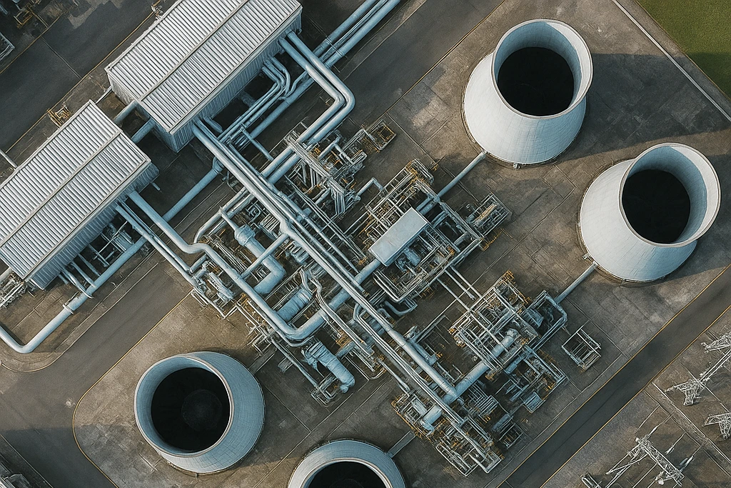
INDUSTRIAL INSPECTIONS
We ensure safety and efficiency across power, energy, and utility sectors with advanced inspection imagery and analytics. Our services include power line evaluations, oil and gas pipeline monitoring, and structural inspections—reducing downtime while delivering accurate data for maintenance and compliance.
CRISIS MANAGEMENT
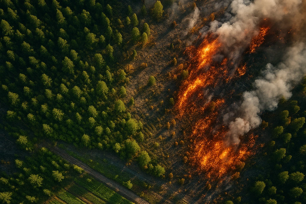
DISASTERS
We empower agencies with real-time situational awareness during emergencies. From disaster assessments after floods or storms to search and response mapping, our aerial data supports faster decision-making and improves coordination in critical situations.
OPERATIONAL EFFICIENCY
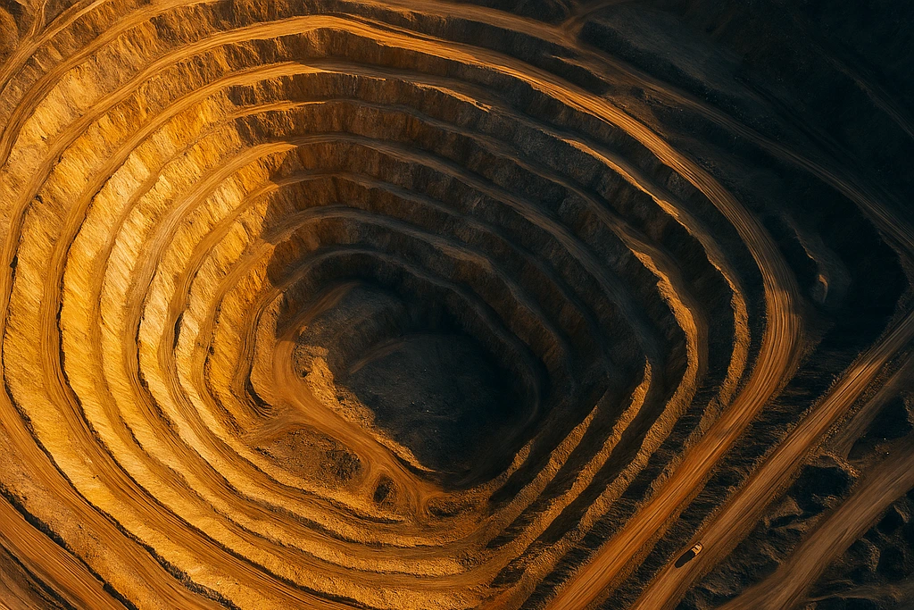
MINING & ENERGY
We deliver accurate aerial mapping and measurement tools that enhance resource management and operational oversight. Our services include stockpile volume calculations, mine progress monitoring, and site safety evaluations—all aimed at improving efficiency and reducing risk.
CINEMATIC EXCELLENCE
FILM & MEDIA PRODUCTION
We bring cinematic creativity to life through stunning aerial perspectives. Whether producing dynamic footage for commercials and documentaries or providing smooth live coverage for concerts and events, our aerial cinematography ensures breathtaking, professional results.

OPERATIONAL EFFICIENCY
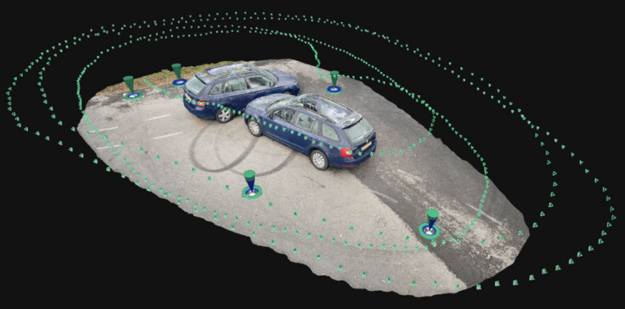
COLLISION RECONSTRUCTION
We deliver accurate aerial mapping and measurement tools that enhance resource management and operational oversight. Our services include stockpile volume calculations, mine progress monitoring, and site safety evaluations—all aimed at improving efficiency and reducing risk.
SOLUTIONS
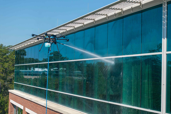
BUILDING MAINTENANCE
We bring cinematic creativity to life through stunning aerial perspectives. Whether producing dynamic footage for commercials and documentaries or providing smooth live coverage for concerts and events, our aerial cinematography ensures breathtaking, professional results.
SMART CITY INNOVATION
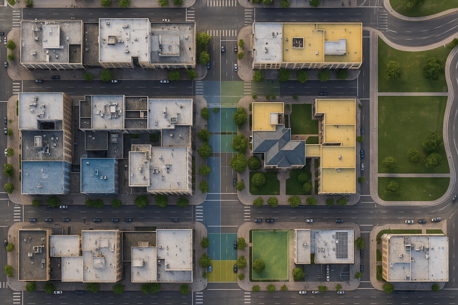
GOVERNMENT & MUNICIPAL
We assist local governments and agencies in planning, monitoring, and managing urban development. Our aerial visualization supports city planning, traffic and infrastructure assessment, and environmental analysis, providing accurate data for smarter, data-driven public projects.
