
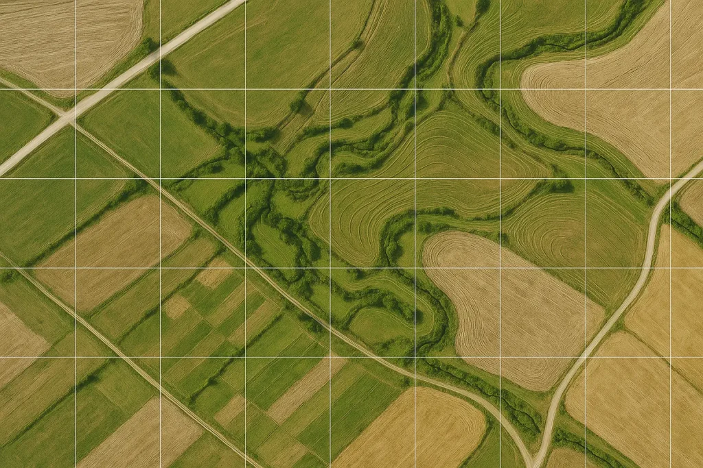
Precision from Above. Data You Can Trust. Aerial mapping and surveying provide the foundation for precision analysis and accurate data collection across industries. Using advanced photogrammetry and high-resolution imaging, we deliver ultra-detailed orthomosaic maps that reveal every contour, elevation, and boundary of your project site. Our team ensures every image is georeferenced and precisely stitched […]
CONTINUE READING Aerial Mapping & Surveying 1 min read