
Precision from Above. Data You Can Trust.
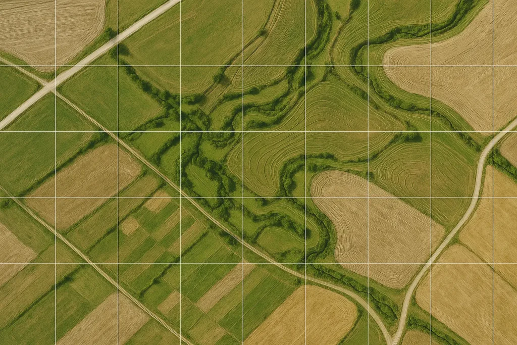
Aerial mapping and surveying provide the foundation for precision analysis and accurate data collection across industries. Using advanced photogrammetry and high-resolution imaging, we deliver ultra-detailed orthomosaic maps that reveal every contour, elevation, and boundary of your project site. Our team ensures every image is georeferenced and precisely stitched to produce consistent, measurable survey results.
These surveys are ideal for land development, construction planning, environmental analysis, and property management. Each map is designed to meet industry-grade accuracy standards, capturing real-world detail that helps architects, engineers, and planners make informed decisions. From elevation profiles to 3D terrain models, we provide the complete spatial understanding your project needs.
Our workflow includes post-processing and data refinement using professional GIS and CAD software, ensuring seamless integration with your existing infrastructure systems. The resulting datasets can be used for topographic mapping, land boundary verification, and surface modeling.
By leveraging advanced drone technology and precision optics, we minimize field time and maximize accuracy. The outcome is a cost-effective, scalable, and reliable solution that empowers clients to visualize their land and assets from a new perspective.