
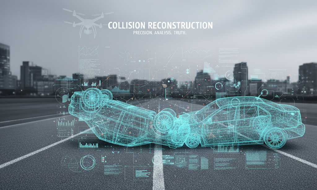
Collision scenes tell a story — our job is to make sure the facts are clear.
What Is Collision Reconstruction?
Collision reconstruction is the science of recreating accident scenes from captured imagery.
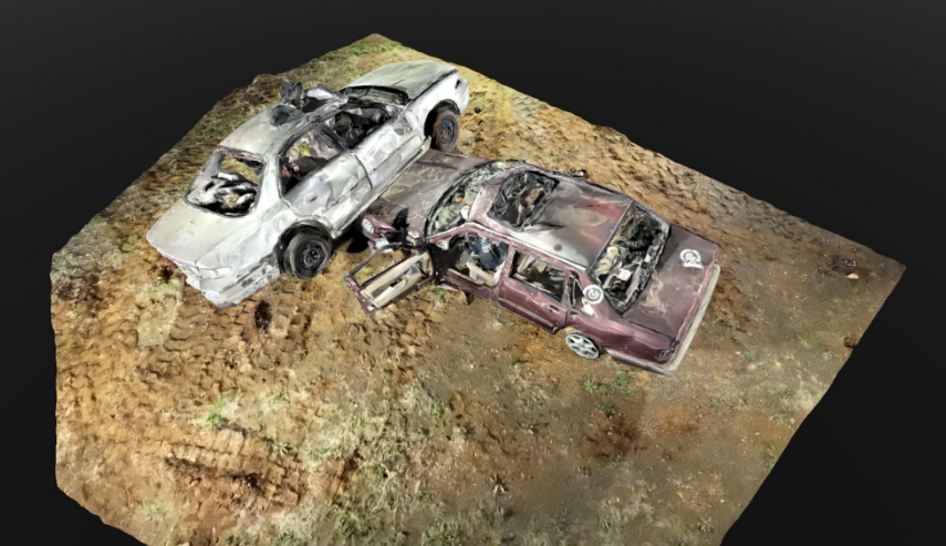
Using photogrammetry, we measure distances, positions, and trajectories directly from overlapping photographs. These reconstructions allow investigators, insurance experts, and legal teams to review scenes long after they’ve been cleared, without returning to the field. We create precise 2D and 3D reconstructions that preserve every detail of the crash site with millimeter accuracy.
- Convert photos into measurable 3D data
- Preserve perishable evidence
- Increase safety and efficiency on site
How Photogrammetry Works
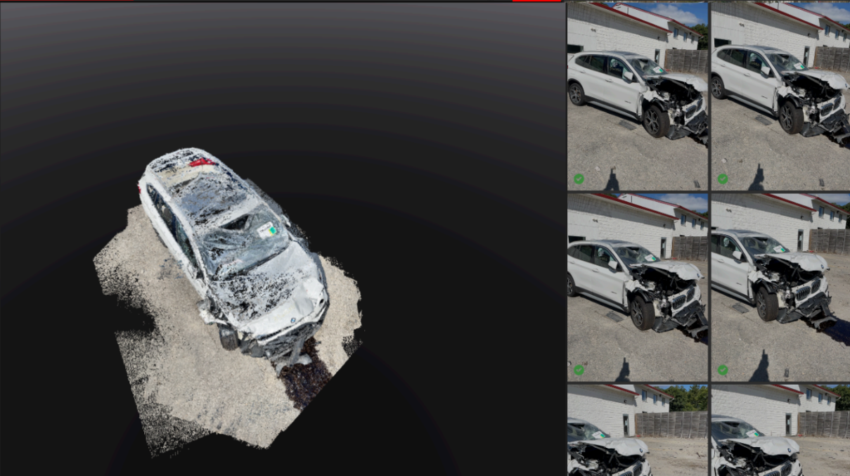
By combining aerial drone imagery and ground-based data, the system triangulates each point in space to form an accurate digital model of the crash scene.
Every pixel corresponds to a measurable distance — enabling exact distance, angle, and deformation calculations.
“You can’t measure what you can’t see.”
That’s why we capture from multiple perspectives to minimize blind spots and ensure complete coverage.
Cloud Sharing & Collaboration
Reconstructions can be securely uploaded to Pix4Dcloud, allowing:
- Instant access for investigators and legal teams
- Online measurement and annotation tools
- Shareable links with view or edit permissions
- Centralized version control for ongoing cases
Deliverables
Deliverables Include:
- 2D Orthomosaics – A true-to-scale, high-resolution map of the scene
- 3D Point Clouds & Meshes – Detailed spatial reconstructions viewable in Pix4D or web viewers
- Digital Surface Models (DSM) – Elevation-based surface representation for trajectory and slope analysis
- Accident Reports & Measurement Files – Scaled measurements, annotations, and documentation ready for court or insurance submission
Ready to analyze a collision scene or learn more about our reconstruction services?
Contact us for a consultation or demonstration.
Tier 1 – Basic Documentation & Report
• On-scene photography (high resolution)
* Basic measurements with centimeter acccuracy / total station
* Drone overhead photographs (orthophoto)
* Field sketch / 2D scaled diagram
* Narrative report summarizing what was observed
* Preliminary exhibit graphics
Good for lower-stakes cases preliminary fact development, depositions
$3,000 – $6,000
Tier 2 – Enhanced Forensic Reconstruction
Everything in Tier 1, plus:
* 3D laser scanning / point cloud capture
* Crash data retrieval / event data recorder (EDR) download
* Traffic / roadway / sight-distance studies
* Computer animation / simulation (basic)
* Intermediate-level expert report with exhibits
Suited for moderate-impact cases, serious injuries, where visualization and technical depth can help persuade
$8,000 – $20,000
Tier 3 – Full-Spectrum Forensic & Trial Support
Everything in Tier 2, plus:
* Advanced simulation & element modeling
* Full animation sequences with multiple viewpoints
* Expert deposition prep & courtroom-ready graphics
* Reconstruction under variant hypotheses (sensitivity analyses)
* Vehicle component reports (brakes, tires)
* Supplemental site revisits, peer review, overlays
* Real-time support in trial (animations, demonstratives)
For high-exposure cases, catastrophic injury / death, where strong visual / technical evidence is critical
$25,000 – $75,000+