Our drone-based agriculture and environmental monitoring solutions help farmers, researchers, and land managers make data-driven decisions with accuracy. Using NDVI and multispectral analysis, we identify crop health variations, irrigation inefficiencies, and soil moisture imbalances across entire fields.
High-altitude orthographic images reveal color-coded health zones, providing visual insight into nutrient deficiencies and early signs of disease. This data supports timely intervention, reducing waste and improving yield performance while minimizing environmental impact.
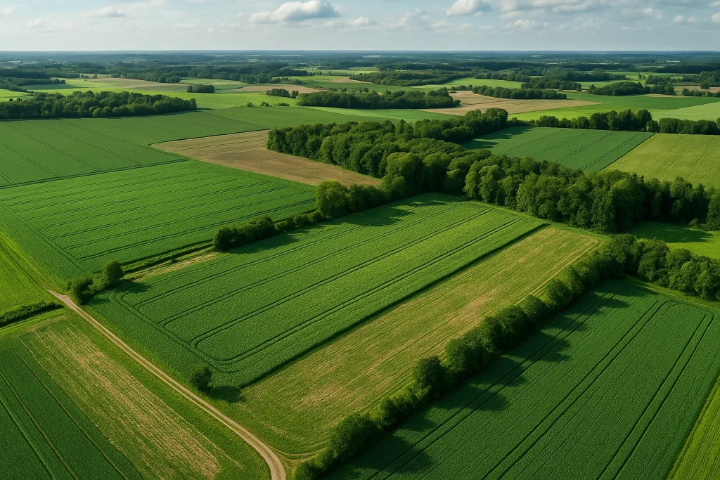
Beyond agriculture, we support environmental conservation and forestry management through periodic surveys that track deforestation, erosion, and habitat recovery. Each mission is customized for scale, resolution, and seasonal conditions.
From small farms to large ecosystems, our aerial imagery transforms complex terrain data into actionable intelligence—helping maintain productivity, sustainability, and resource balance year-round.